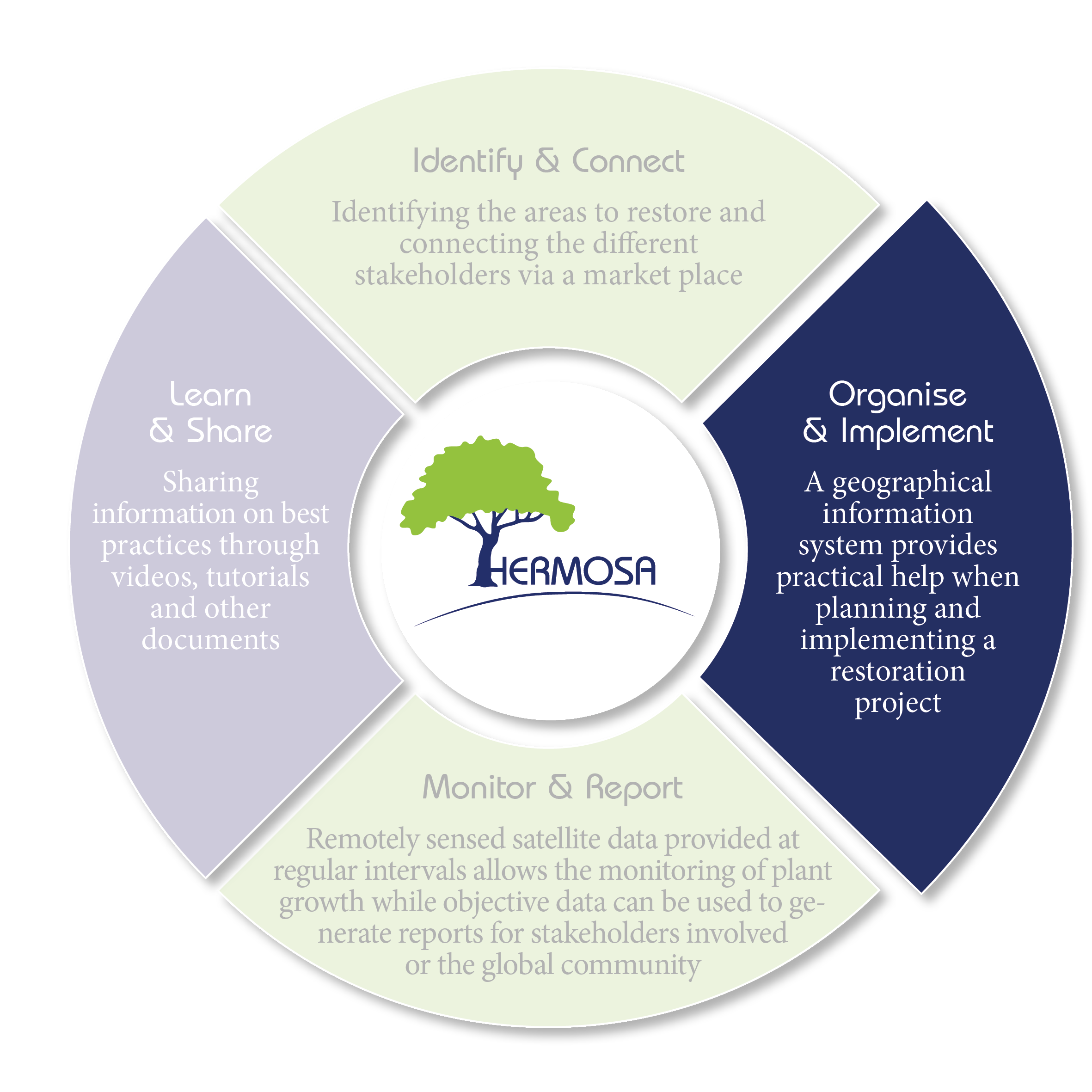
Once the stakeholders have found each other via the first module and have constituted a project consortium they will need the second module „Organize & Implement“ to start their actual work of planting trees, restoring watersheds, working with communities etc.. Planting activities, for example, require a number of preparatory actions related to terrain/soil conditions, transport of suitable tree species from the nursery to the field, to procure water for initial irrigation and to organize the workforce willing to participate in these activities.
This second module is a cloud based Geographic Information System (GIS), that supports the organization and planning of activities through GIS functionality and algorithms supported by a set of geo and earth observation data.
Following are some examples where the module “Organize & Implement” will provide assistance: Governments need to establish their national reference level and monitor the change on their forest areas with regard to other land types (specified by IPCC guidelines on greenhouse gas inventory reporting) to quantify the carbon sequestration in relation to this reference level. The financiers and planting companies need to visualize the progress of their planting projects they have invested in. And if they are involved in an ecosystem based service, or carbon offsetting scheme, they need to assess the carbon storage of the restored land. Farmers on the other hand, involved in these activities require information about the payments they will receive based on their activities.
Since all activities take place in a spatial context they can be mapped and the resulting maps can be individually created for the task at hand, made available to project partners, other interested stakeholders and even the public at large.