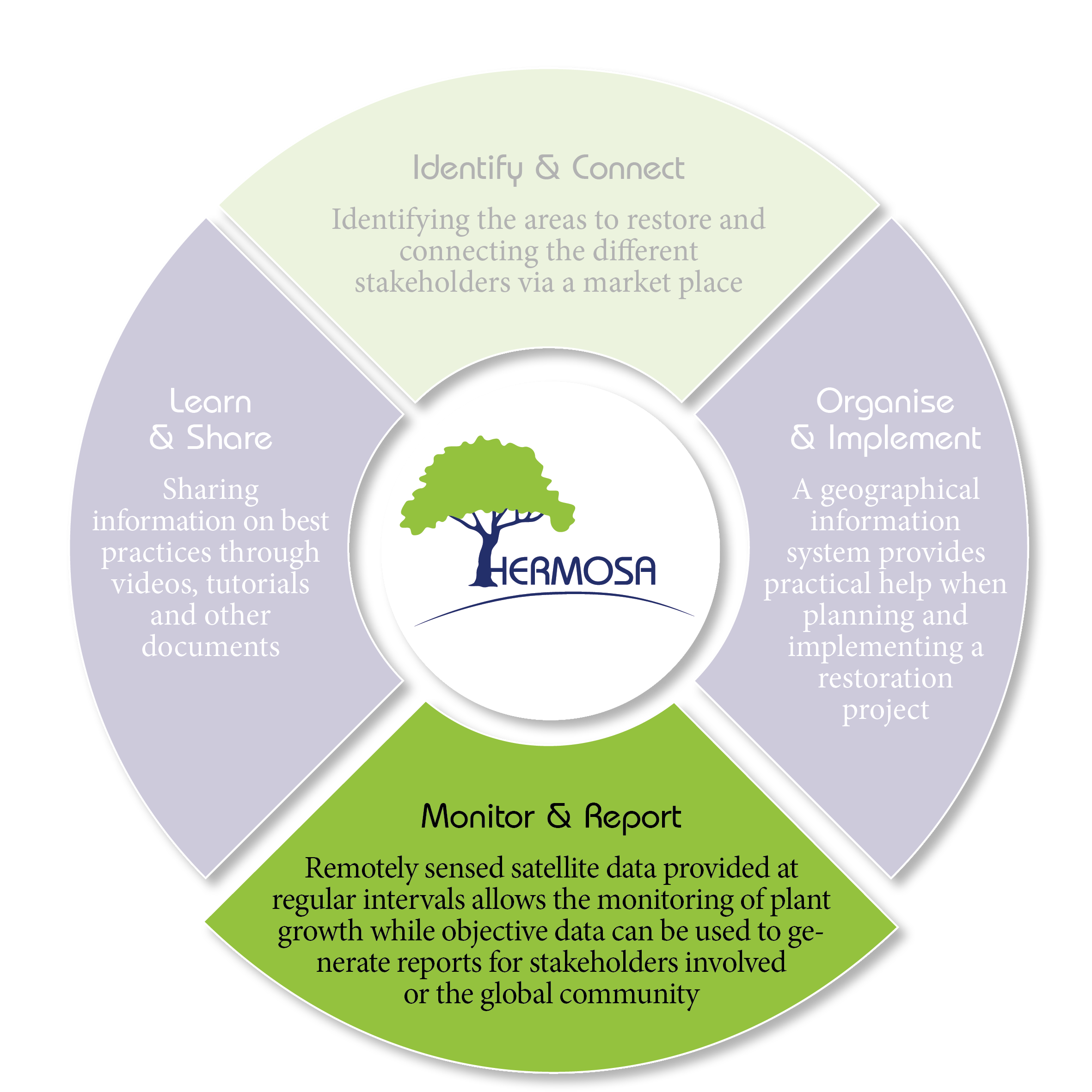
Once the areas have been planted with trees or other activities to restore ecosystems have taken place they will be monitored using remotely sensed (RS) data. The RS data are publicly accessible and free of charge whether from the Copernicus Program Sentinel constellation (10 to 20 m spatial resolution) or from other open data sources. When the analysis requires Very High Resolution (VHR) data, this data can be procured automatically from commercial vendors.
This 3rd module „Monitor & Report“ is a cloud based data processing engine called actinia. This module offers two usage modes. The first mode offers a set of predefined products (e.g. land cover change map based on the IPCC mapping guideline) that will be computed automatically and made available to the user, who is not required to have technical expertise. The second mode grants access to a set of RS data processing and artificial intelligence algorithms, that can be used as a tool-box by a local advanced user to produce maps and perform individual geo based analyses.